 Preview unavailable. Open the resource for download options.
Maps of North America
North America runs from Greenland and the Canadian Arctic down through the United States and Mexico to Central America and the islands of the Caribbean.
Pick a country below for its own maps and quizzes, or start with the maps of the whole continent further down the page. All 173 printables are free PDFs in A4 or US Letter.
List of countries in North America with capitals · North America map quiz · Colour a map of North America
Choose a country
Maps and activities, organised by place.
- Anguilla3 resources
- Antigua and Barbuda3 resources
- Aruba1 resource
- Barbados3 resources
- Belize6 resources
- Bermuda3 resources
- British Virgin Islands1 resource
- Canada7 resources
- Cayman Islands1 resource
- Costa Rica6 resources
- Cuba6 resources
- Curaçao1 resource
- Dominica3 resources
- Dominican Republic6 resources
- El Salvador6 resources
- Greenland6 resources
- Grenada3 resources
- Guatemala6 resources
- Haiti6 resources
- Honduras6 resources
- Jamaica6 resources
- Mexico7 resources
- Montserrat3 resources
- Nicaragua7 resources
- Panama6 resources
- Puerto Rico4 resources
- Saint Barthélemy1 resource
- Saint Kitts and Nevis3 resources
- Saint Lucia3 resources
- Saint Martin1 resource
- Saint Pierre and Miquelon1 resource
- Saint Vincent and the Grenadines3 resources
- Sint Maarten1 resource
- The Bahamas3 resources
- Trinidad and Tobago3 resources
- Turks and Caicos Islands3 resources
- United States of America10 resources
- United States Virgin Islands3 resources
From the North America collection
Preview unavailable. Open the resource for download options.
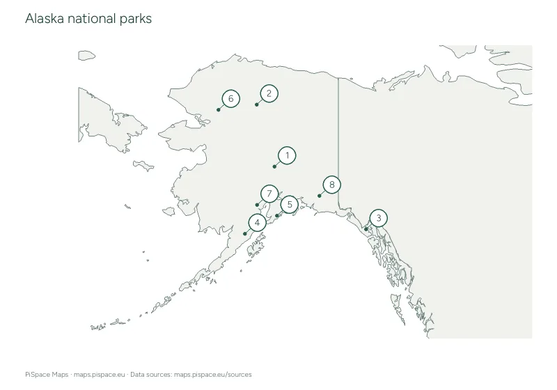 Preview unavailable. Open the resource for download options.
Alaska national parks map and checklist
US national parks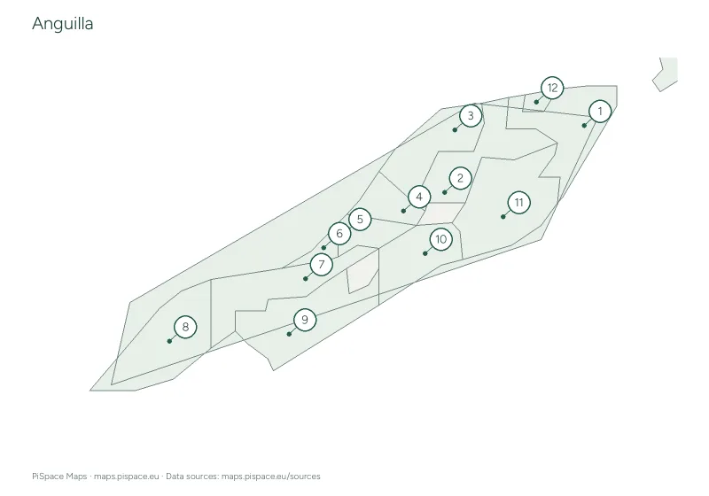 Preview unavailable. Open the resource for download options.
Anguilla administrative regions reference atlas
State and province atlases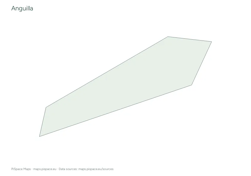 Preview unavailable. Open the resource for download options.
Anguilla printable map pack
Country map packs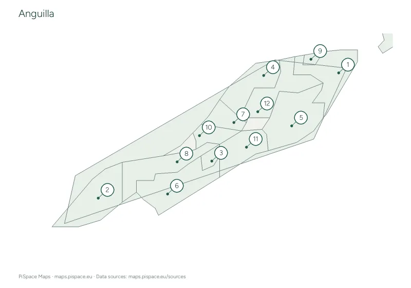 Preview unavailable. Open the resource for download options.
Anguilla regional map quiz
Regional map quizzes Preview unavailable. Open the resource for download options.
Antigua and Barbuda administrative regions reference atlas
State and province atlases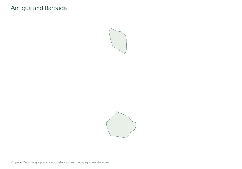 Preview unavailable. Open the resource for download options.
Antigua and Barbuda printable map pack
Country map packs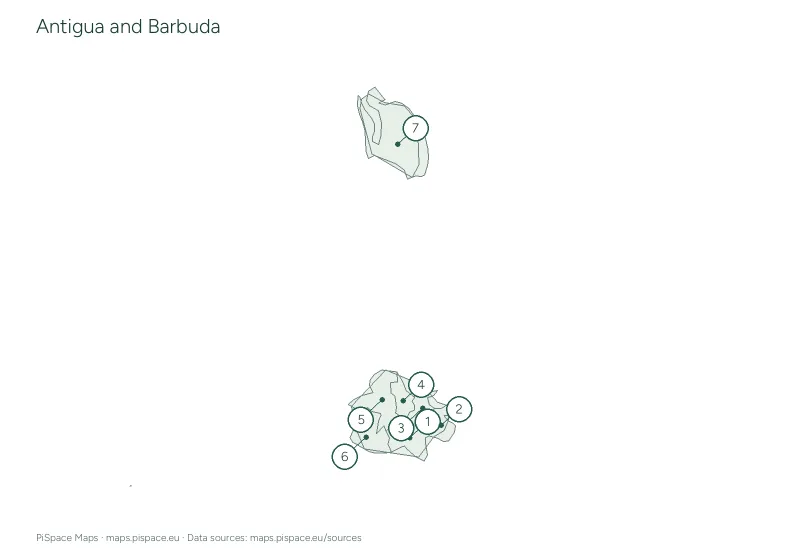 Preview unavailable. Open the resource for download options.
Antigua and Barbuda regional map quiz
Regional map quizzes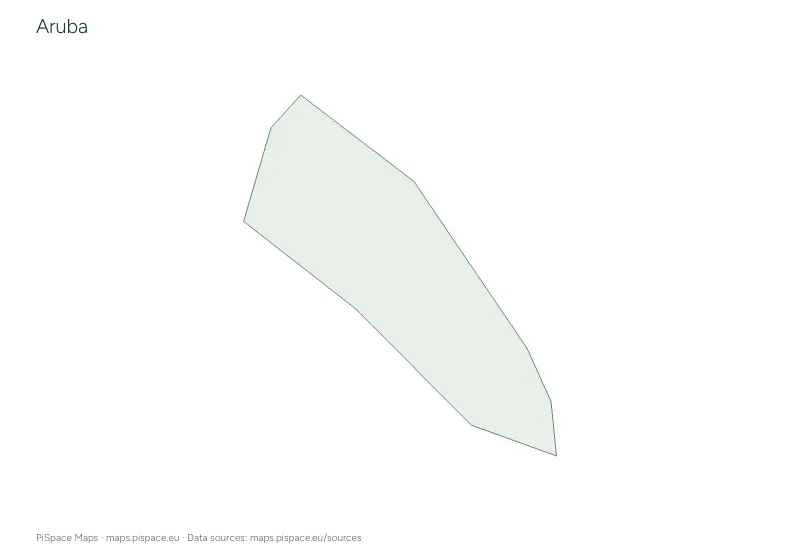 Preview unavailable. Open the resource for download options.
Aruba printable map pack
Country map packs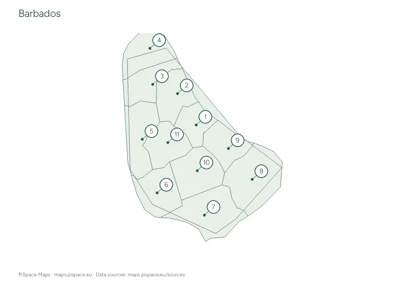 Preview unavailable. Open the resource for download options.
Barbados administrative regions reference atlas
State and province atlases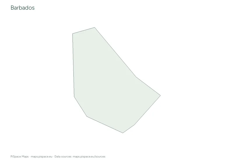 Preview unavailable. Open the resource for download options.
Barbados printable map pack
Country map packs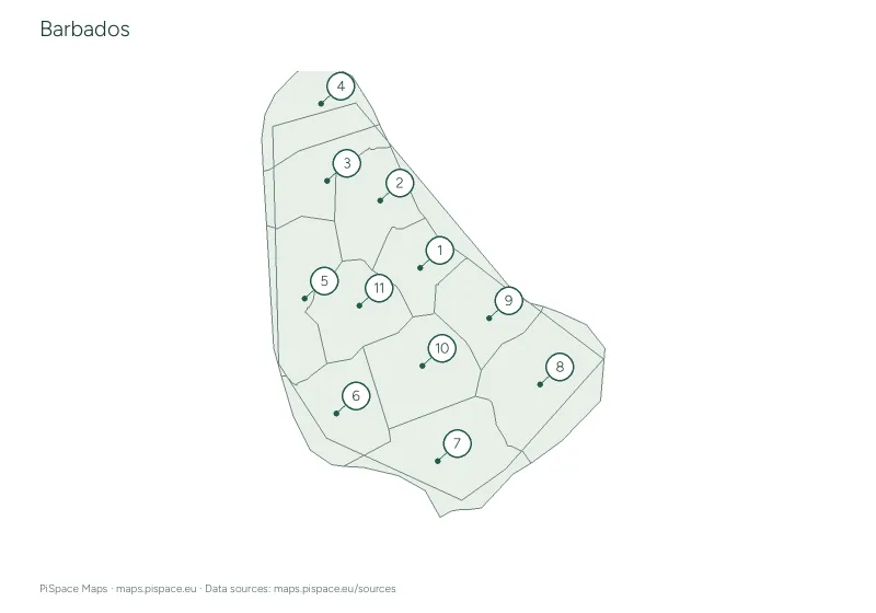 Preview unavailable. Open the resource for download options.
Barbados regional map quiz
Regional map quizzes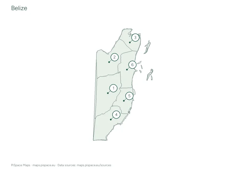 Preview unavailable. Open the resource for download options.
Belize administrative regions reference atlas
State and province atlases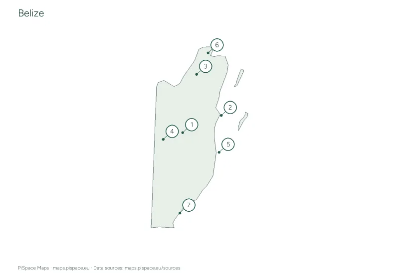 Preview unavailable. Open the resource for download options.
Belize city map quiz
City map quizzes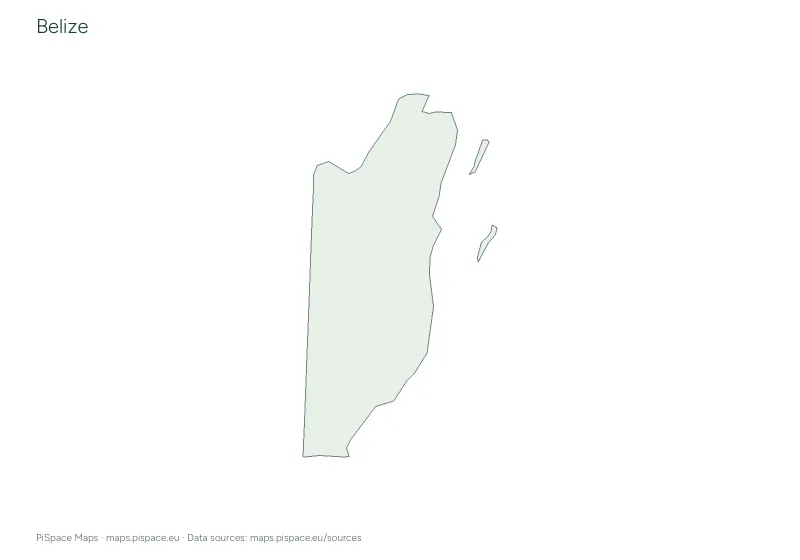 Preview unavailable. Open the resource for download options.
Belize geography learning pack
Learning packs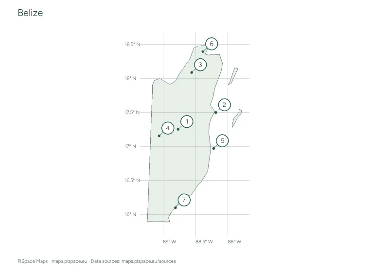 Preview unavailable. Open the resource for download options.
Belize latitude and longitude worksheet
Coordinate worksheets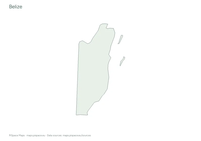 Preview unavailable. Open the resource for download options.
Belize printable map pack
Country map packs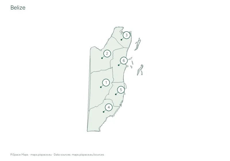 Preview unavailable. Open the resource for download options.
Belize regional map quiz
Regional map quizzesOur continent groups follow the source catalogue. They are a way to browse resources and do not resolve differences in geographic or political classification. See map sources for details.