 Preview unavailable. Open the resource for download options.
Maps of Oceania
Oceania covers Australia, New Zealand and thousands of Pacific islands, which geographers group into Melanesia, Micronesia and Polynesia.
Pick a country below for its own maps and quizzes, or start with the maps of the whole continent further down the page. All 96 printables are free PDFs in A4 or US Letter.
List of countries in Oceania with capitals · Oceania map quiz · Colour a map of Oceania
Choose a country
Maps and activities, organised by place.
- American Samoa1 resource
- Ashmore and Cartier Islands1 resource
- Australia7 resources
- British Indian Ocean Territory1 resource
- Cook Islands1 resource
- Federated States of Micronesia3 resources
- Fiji6 resources
- French Polynesia3 resources
- French Southern and Antarctic Lands1 resource
- Guam1 resource
- Heard Island and McDonald Islands1 resource
- Kiribati1 resource
- Maldives1 resource
- Marshall Islands1 resource
- Mauritius3 resources
- Nauru3 resources
- New Caledonia3 resources
- New Zealand7 resources
- Niue1 resource
- Norfolk Island1 resource
- Northern Mariana Islands3 resources
- Palau3 resources
- Papua New Guinea6 resources
- Pitcairn Islands1 resource
- Saint Helena1 resource
- Samoa3 resources
- Seychelles3 resources
- Solomon Islands3 resources
- South Georgia and the South Sandwich Islands1 resource
- Tonga3 resources
- Tuvalu1 resource
- Vanuatu3 resources
- Wallis and Futuna3 resources
From the Oceania collection
Preview unavailable. Open the resource for download options.
 Preview unavailable. Open the resource for download options.
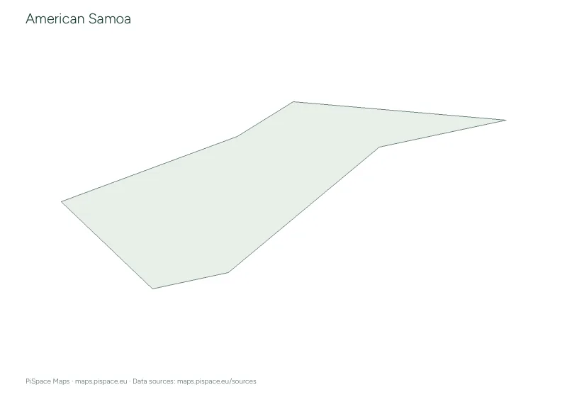
American Samoa printable map pack
Country map packs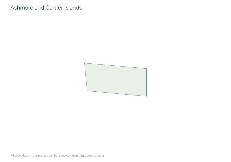 Preview unavailable. Open the resource for download options.
Ashmore and Cartier Islands printable map pack
Country map packs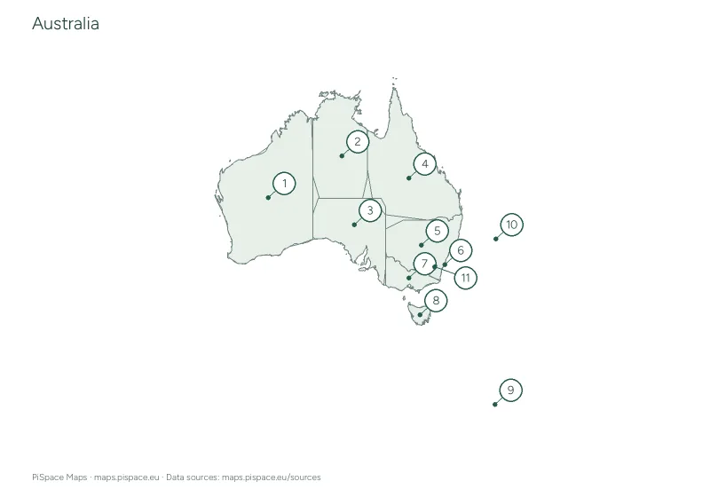 Preview unavailable. Open the resource for download options.
Australia administrative regions reference atlas
State and province atlases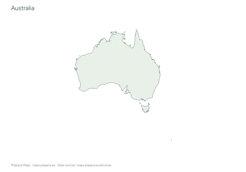 Preview unavailable. Open the resource for download options.
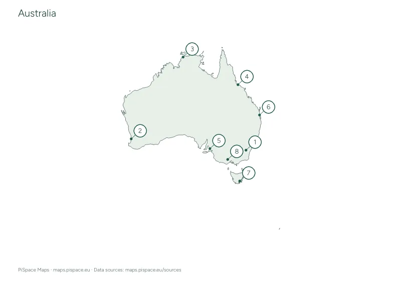
Australia geography learning pack
Learning packs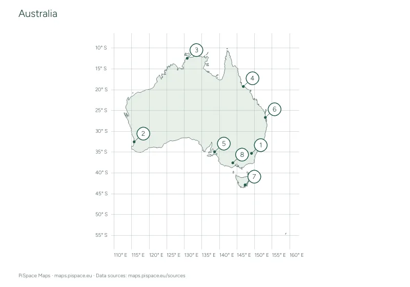 Preview unavailable. Open the resource for download options.
Australia latitude and longitude worksheet
Coordinate worksheets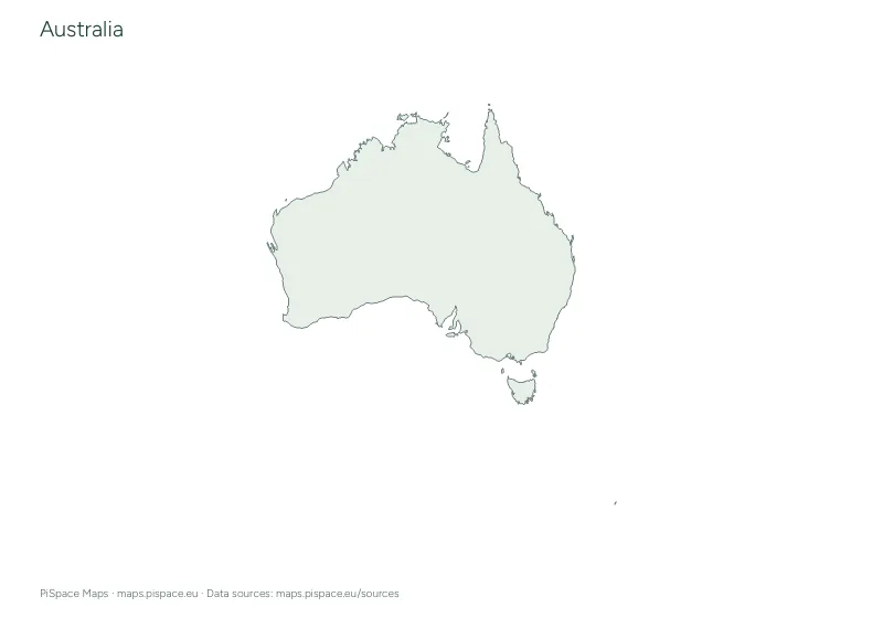 Preview unavailable. Open the resource for download options.
Australia printable map pack
Country map packs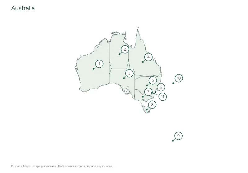 Preview unavailable. Open the resource for download options.
Australia regional map quiz
Regional map quizzes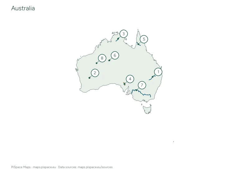 Preview unavailable. Open the resource for download options.
Australia rivers and lakes activity
Rivers and lakes Preview unavailable. Open the resource for download options.
British Indian Ocean Territory printable map pack
Country map packs Preview unavailable. Open the resource for download options.
Cook Islands printable map pack
Country map packs Preview unavailable. Open the resource for download options.
Federated States of Micronesia administrative regions reference atlas
State and province atlases Preview unavailable. Open the resource for download options.
Federated States of Micronesia printable map pack
Country map packs Preview unavailable. Open the resource for download options.
Federated States of Micronesia regional map quiz
Regional map quizzes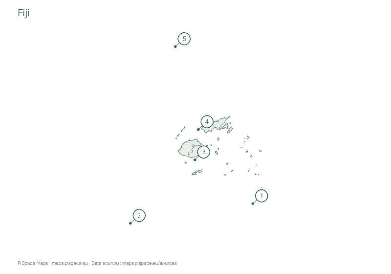 Preview unavailable. Open the resource for download options.
Fiji administrative regions reference atlas
State and province atlases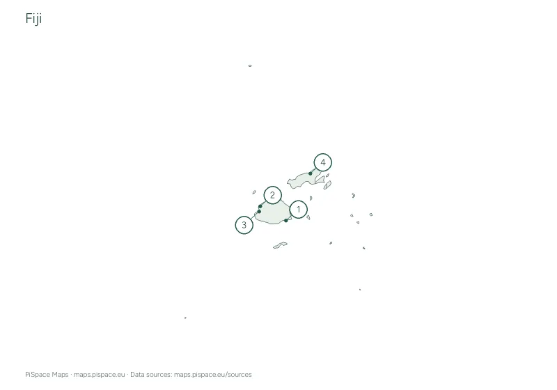 Preview unavailable. Open the resource for download options.
Fiji city map quiz
City map quizzes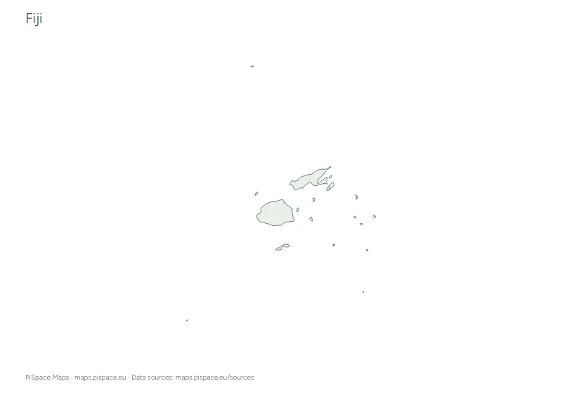 Preview unavailable. Open the resource for download options.
Fiji geography learning pack
Learning packs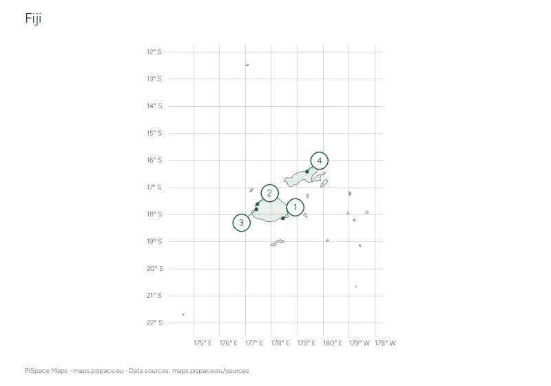 Preview unavailable. Open the resource for download options.
Fiji latitude and longitude worksheet
Coordinate worksheetsOur continent groups follow the source catalogue. They are a way to browse resources and do not resolve differences in geographic or political classification. See map sources for details.