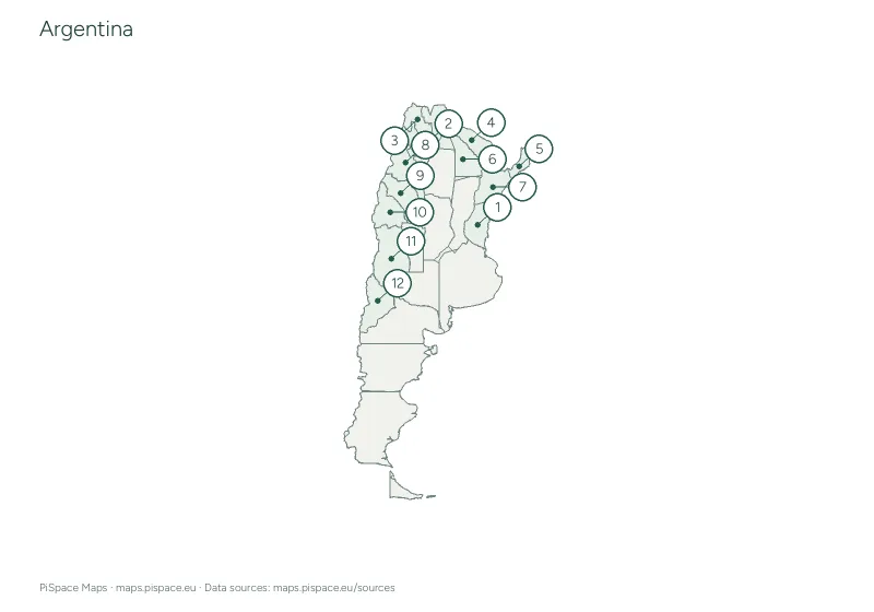
 Preview unavailable. Open the resource for download options.
Maps of South America
South America has twelve independent countries. The Andes run down its whole western edge, and the Amazon basin covers much of the north.
Pick a country below for its own maps and quizzes, or start with the maps of the whole continent further down the page. All 91 printables are free PDFs in A4 or US Letter.
List of countries in South America with capitals · South America map quiz · Colour a map of South America
Choose a country
Maps and activities, organised by place.
From the South America collection
Preview unavailable. Open the resource for download options.
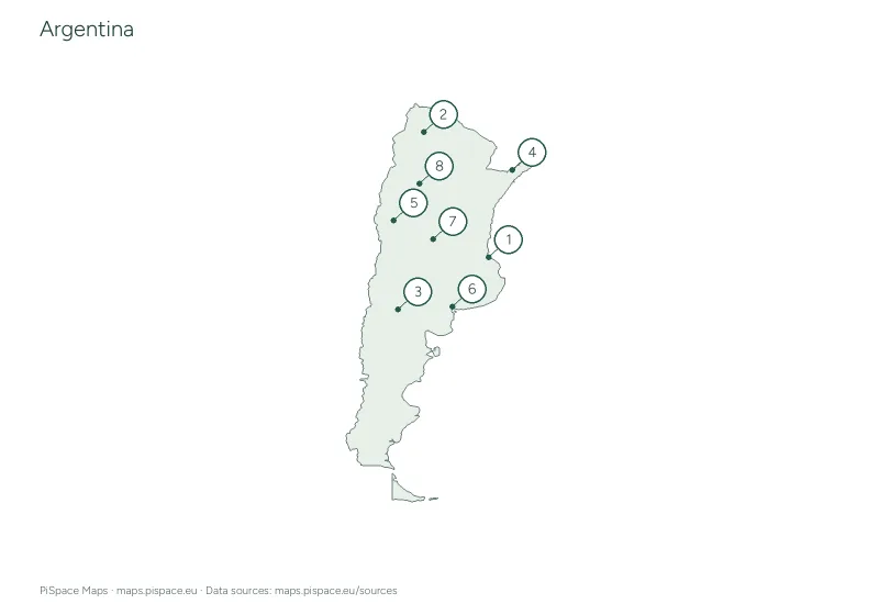 Preview unavailable. Open the resource for download options.
Argentina city map quiz
City map quizzes Preview unavailable. Open the resource for download options.
Argentina geography learning pack
Learning packs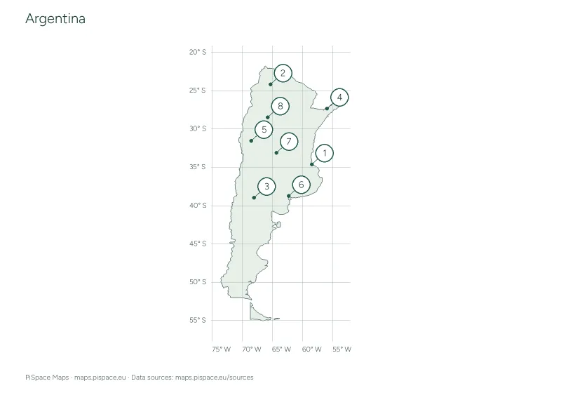 Preview unavailable. Open the resource for download options.
Argentina latitude and longitude worksheet
Coordinate worksheets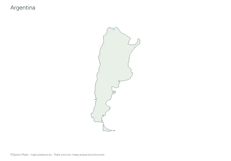 Preview unavailable. Open the resource for download options.
Argentina printable map pack
Country map packs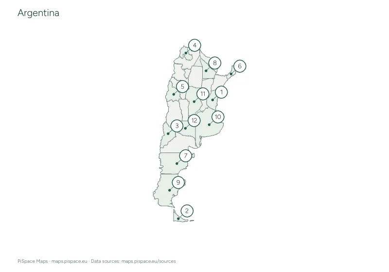 Preview unavailable. Open the resource for download options.
Argentina regional map quiz
Regional map quizzes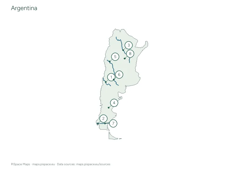 Preview unavailable. Open the resource for download options.
Argentina rivers and lakes activity
Rivers and lakes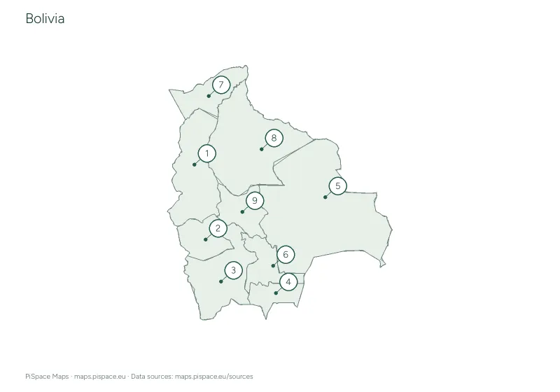 Preview unavailable. Open the resource for download options.
Bolivia administrative regions reference atlas
State and province atlases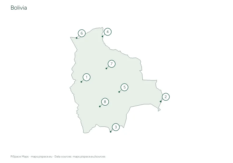 Preview unavailable. Open the resource for download options.
Bolivia city map quiz
City map quizzes Preview unavailable. Open the resource for download options.
Bolivia geography learning pack
Learning packs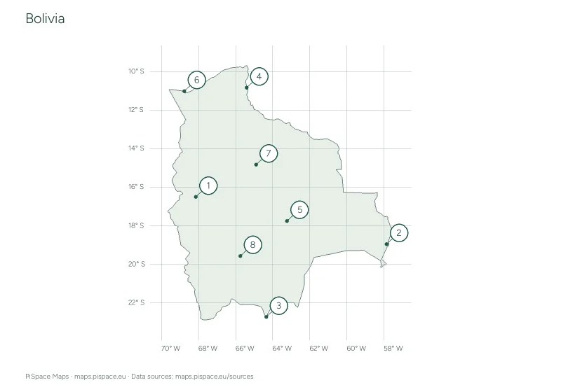 Preview unavailable. Open the resource for download options.
Bolivia latitude and longitude worksheet
Coordinate worksheets Preview unavailable. Open the resource for download options.
Bolivia printable map pack
Country map packs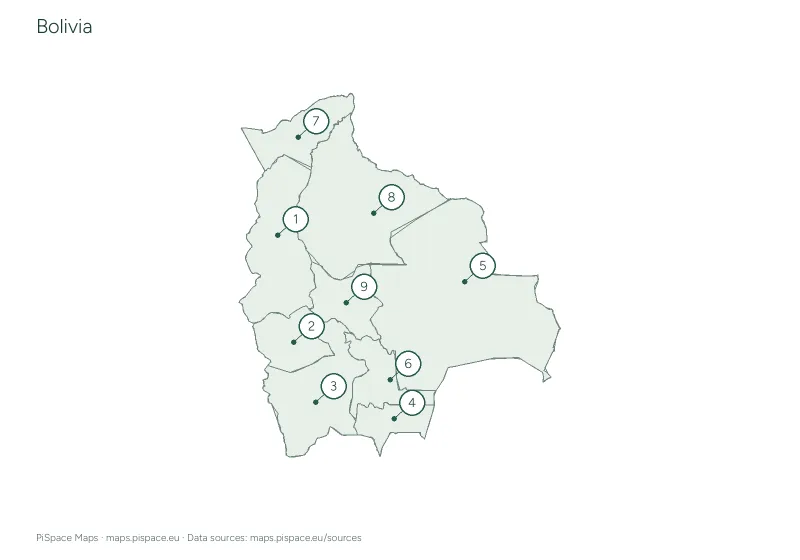 Preview unavailable. Open the resource for download options.
Bolivia regional map quiz
Regional map quizzes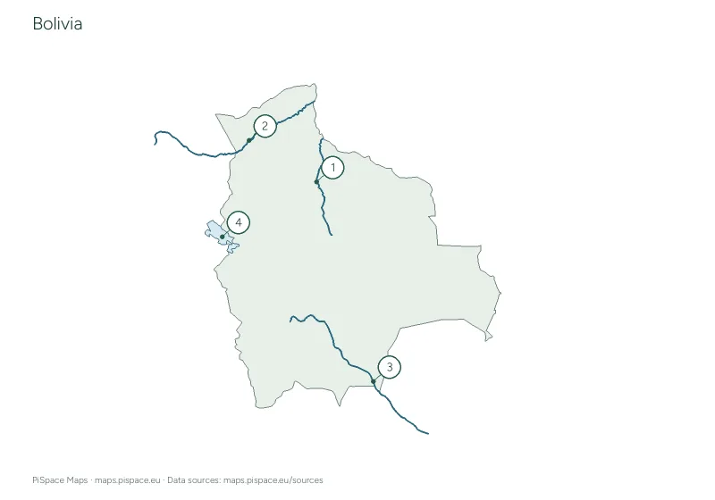 Preview unavailable. Open the resource for download options.
Bolivia rivers and lakes activity
Rivers and lakes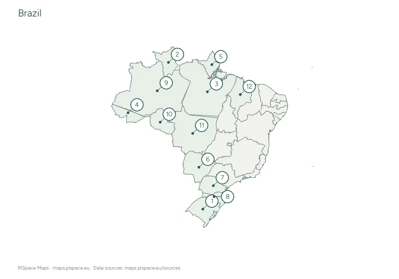 Preview unavailable. Open the resource for download options.
Brazil administrative regions reference atlas
State and province atlases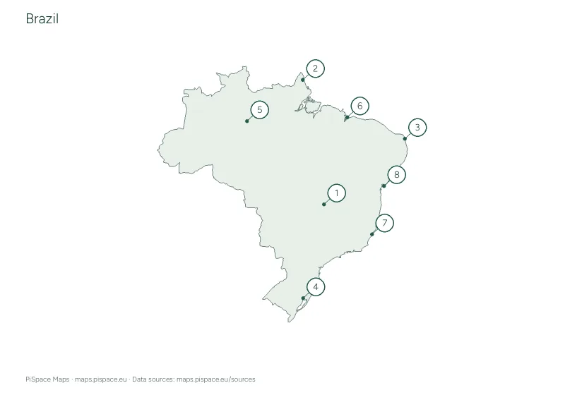 Preview unavailable. Open the resource for download options.
Brazil city map quiz
City map quizzes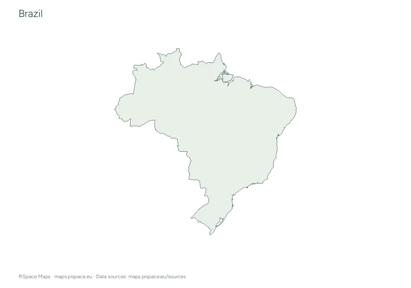 Preview unavailable. Open the resource for download options.
Brazil geography learning pack
Learning packs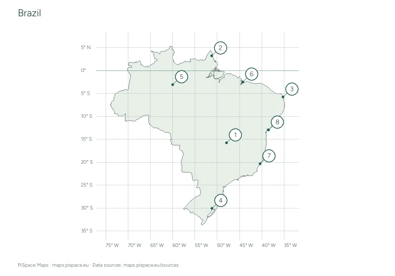 Preview unavailable. Open the resource for download options.
Brazil latitude and longitude worksheet
Coordinate worksheetsOur continent groups follow the source catalogue. They are a way to browse resources and do not resolve differences in geographic or political classification. See map sources for details.