 Preview unavailable. Open the resource for download options.
Map of Serbia
Serbia is in Southern Europe. Its capital is Belgrade, and other cities on our maps include Niš, Novi Sad and Kragujevac. It shares land borders with 8 countries and territories, including Bosnia and Herzegovina, Bulgaria, Croatia and Hungary. About 6.5 million people lived in Serbia in 2025, according to the World Bank.
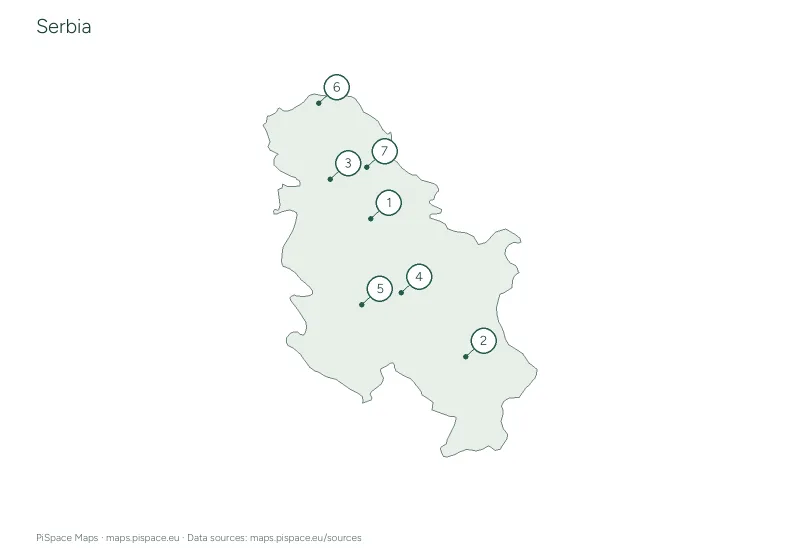
Here you’ll find a blank outline map with a labelled reference page, a reference map of its districts, a quiz on the districts, a city location quiz and a latitude and longitude worksheet. The learning pack puts them together in one PDF. Every map is free to download in A4 or US Letter, in colour or an ink-saving version.
6printables
Quick facts
- Continent
- Europe
- Region
- Southern Europe
- Capital
- Belgrade
- Population
- About 6.5 million (2025)
- Regions on the map
- 25 districts
- Latitude
- 42° N to 46° N
- Longitude
- 19° E to 23° E
- Land borders
- Bosnia and Herzegovina, Bulgaria, Croatia, Hungary, Kosovo, Montenegro, North Macedonia, Romania
Facts come from the map data and the World Bank. Borders, regions and coordinates follow the source outlines, which are simplified and may not reflect recent changes. Sources
Worksheets and printables
Preview unavailable. Open the resource for download options.
 Preview unavailable. Open the resource for download options.
Serbia city map quiz
City map quizzes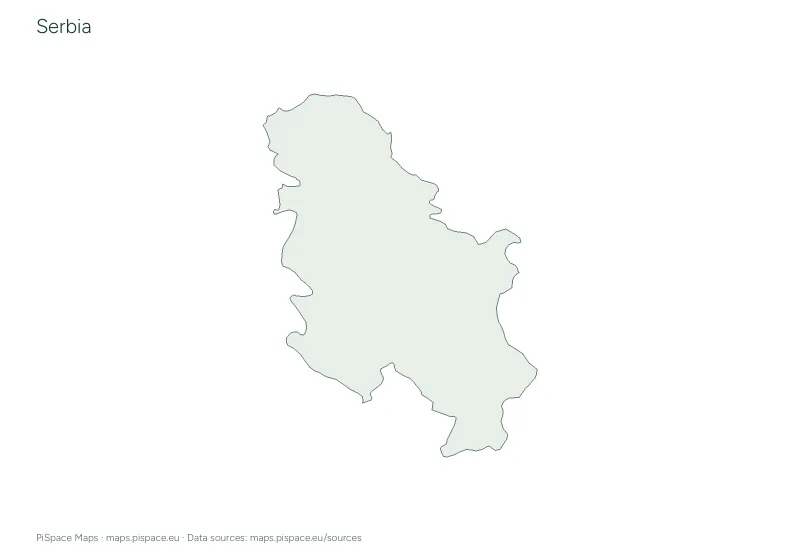 Preview unavailable. Open the resource for download options.
Serbia geography learning pack
Learning packs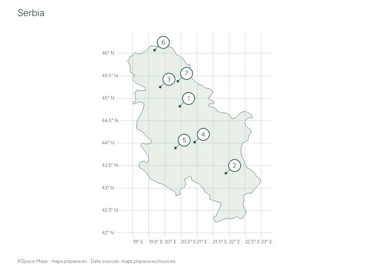 Preview unavailable. Open the resource for download options.
Serbia latitude and longitude worksheet
Coordinate worksheets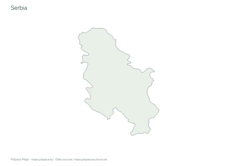 Preview unavailable. Open the resource for download options.
Serbia printable map pack
Country map packs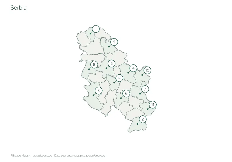 Preview unavailable. Open the resource for download options.
Serbia regional map quiz
Regional map quizzesThese resources use simplified boundaries and selected places for learning. They are not intended for navigation. Place names and boundaries follow the listed sources and may differ between editions. Read more about our map sources and coverage.
Back to all countries