
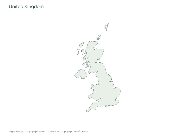
 Preview unavailable. Open the resource for download options.
Map of the United Kingdom
The United Kingdom is in Northern Europe. Its capital is London, and other cities on our maps include Birmingham, Manchester and Leeds. Its only land border is with Ireland. About 69 million people lived in the United Kingdom in 2025, according to the World Bank.
At the top of this page are a political map with the capital and major cities, a blank outline, a map of its administrative areas, a physical map of rivers, lakes and mountains and a locator map showing where it is. Each one downloads free as a PNG image, an SVG file or a printable PDF. Further down you’ll find a blank outline map with a labelled reference page, a reference map of its administrative areas, a quiz on the administrative areas, a city location quiz and a latitude and longitude worksheet. The learning pack puts them together in one PDF.
6printables
Maps of the United Kingdom

Political map of the United Kingdom
Download: PNGSVGPDF (A4)PDF (US Letter)
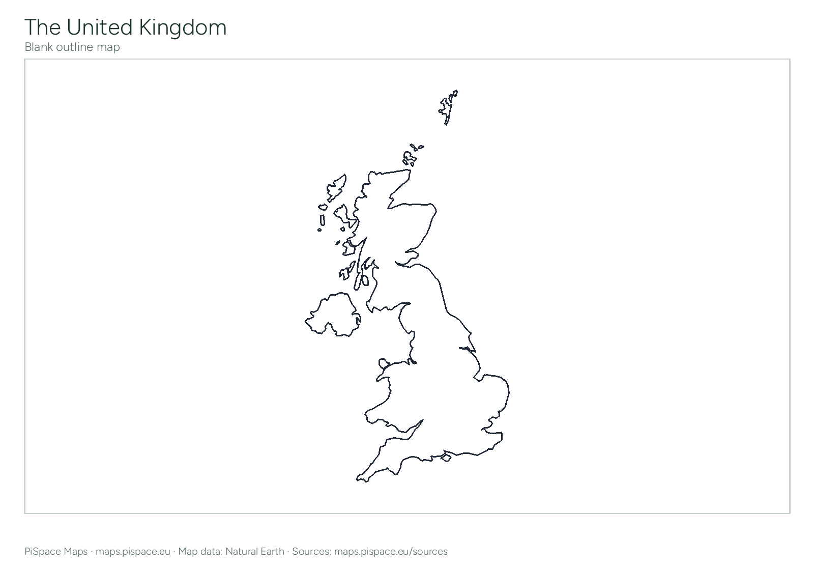
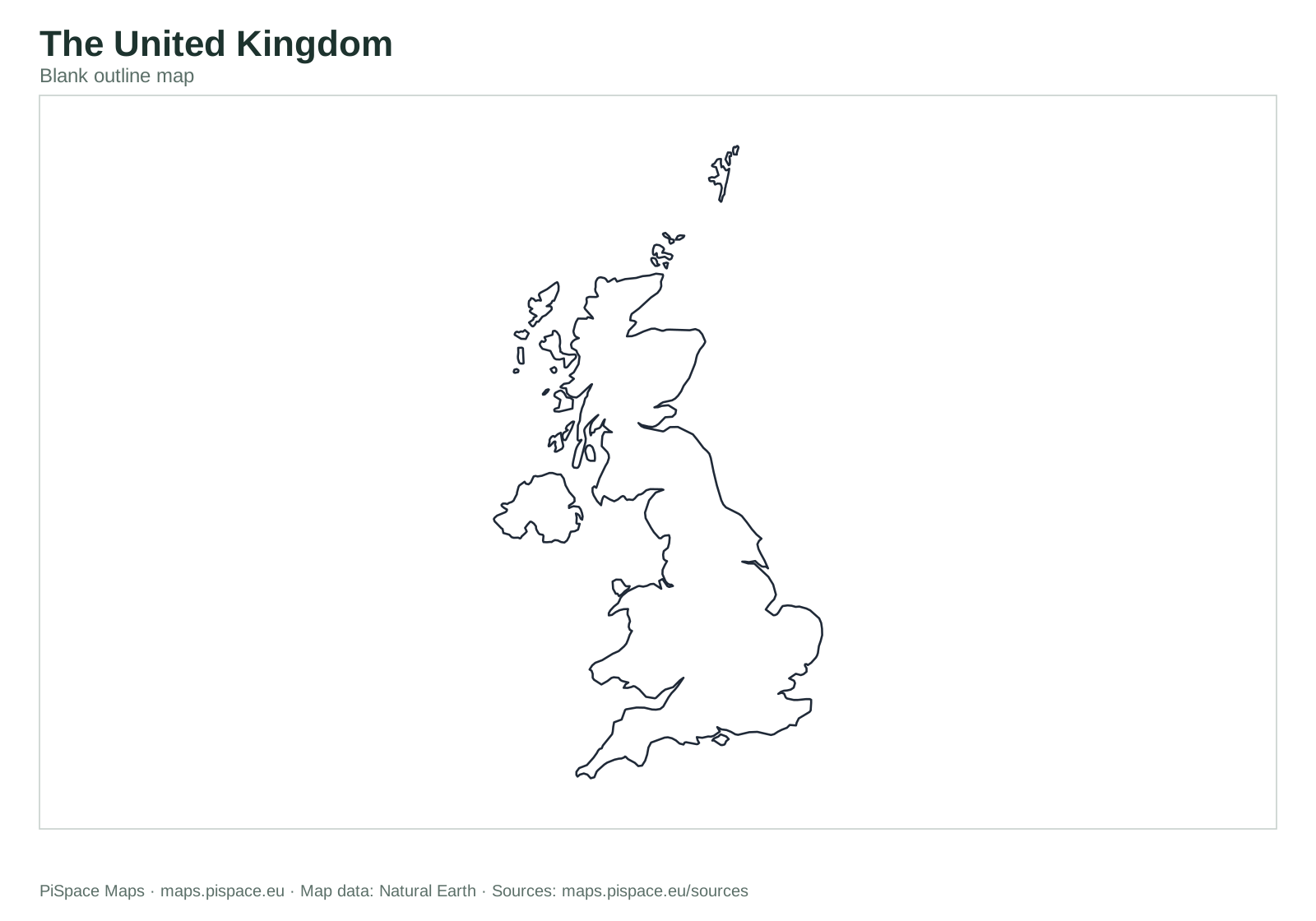
Blank map of the United Kingdom
Download: PNGSVGPDF (A4)PDF (US Letter)
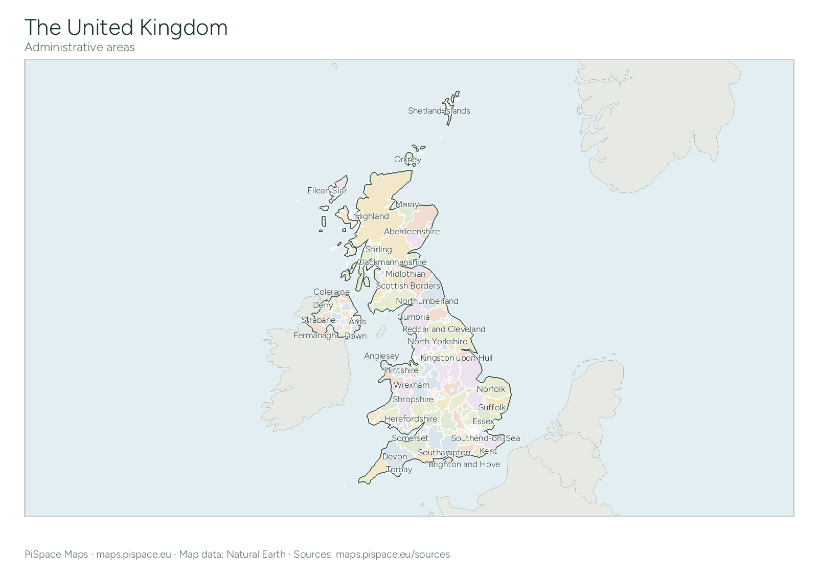
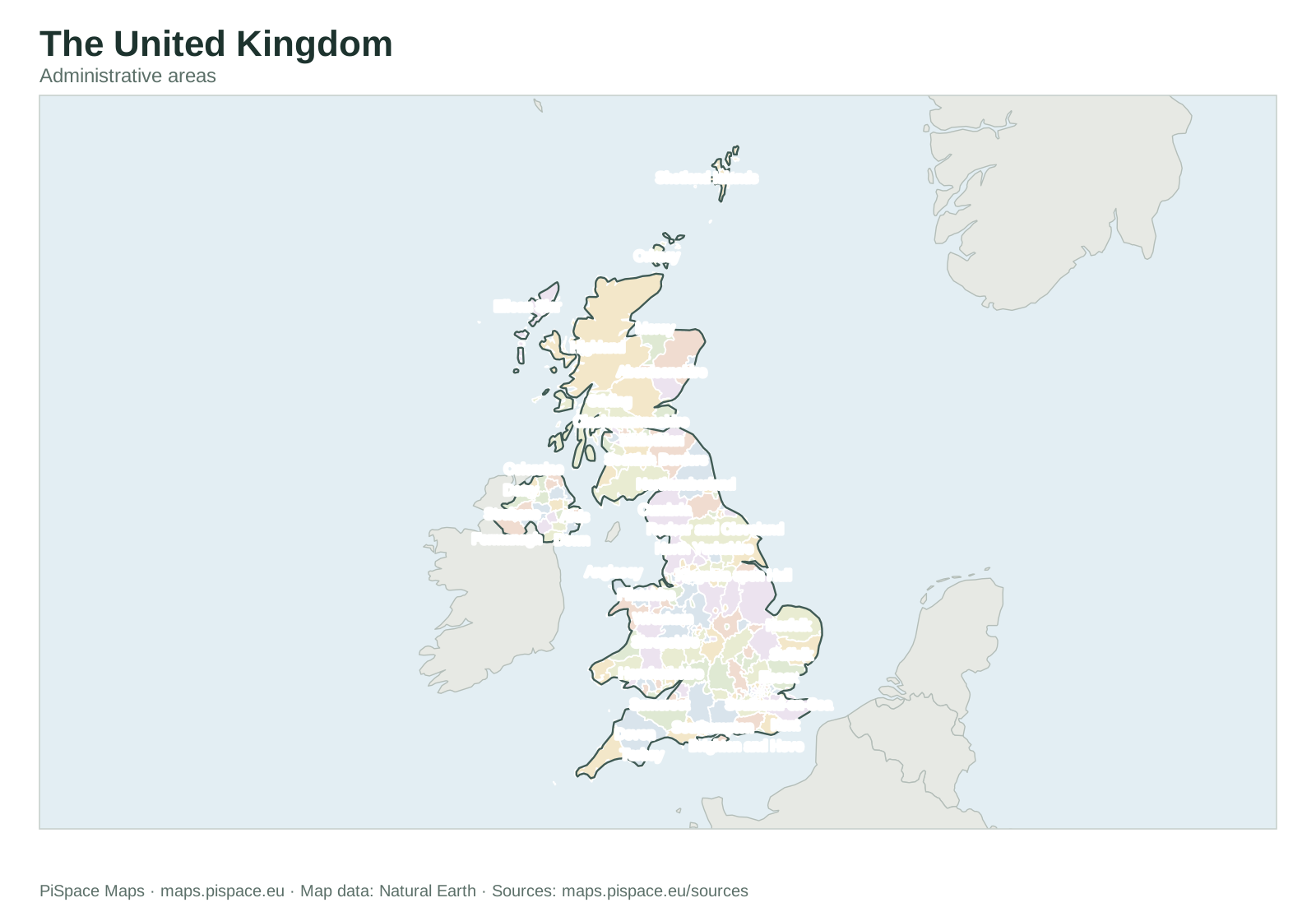
Administrative areas of the United Kingdom
Download: PNGSVGPDF (A4)PDF (US Letter)
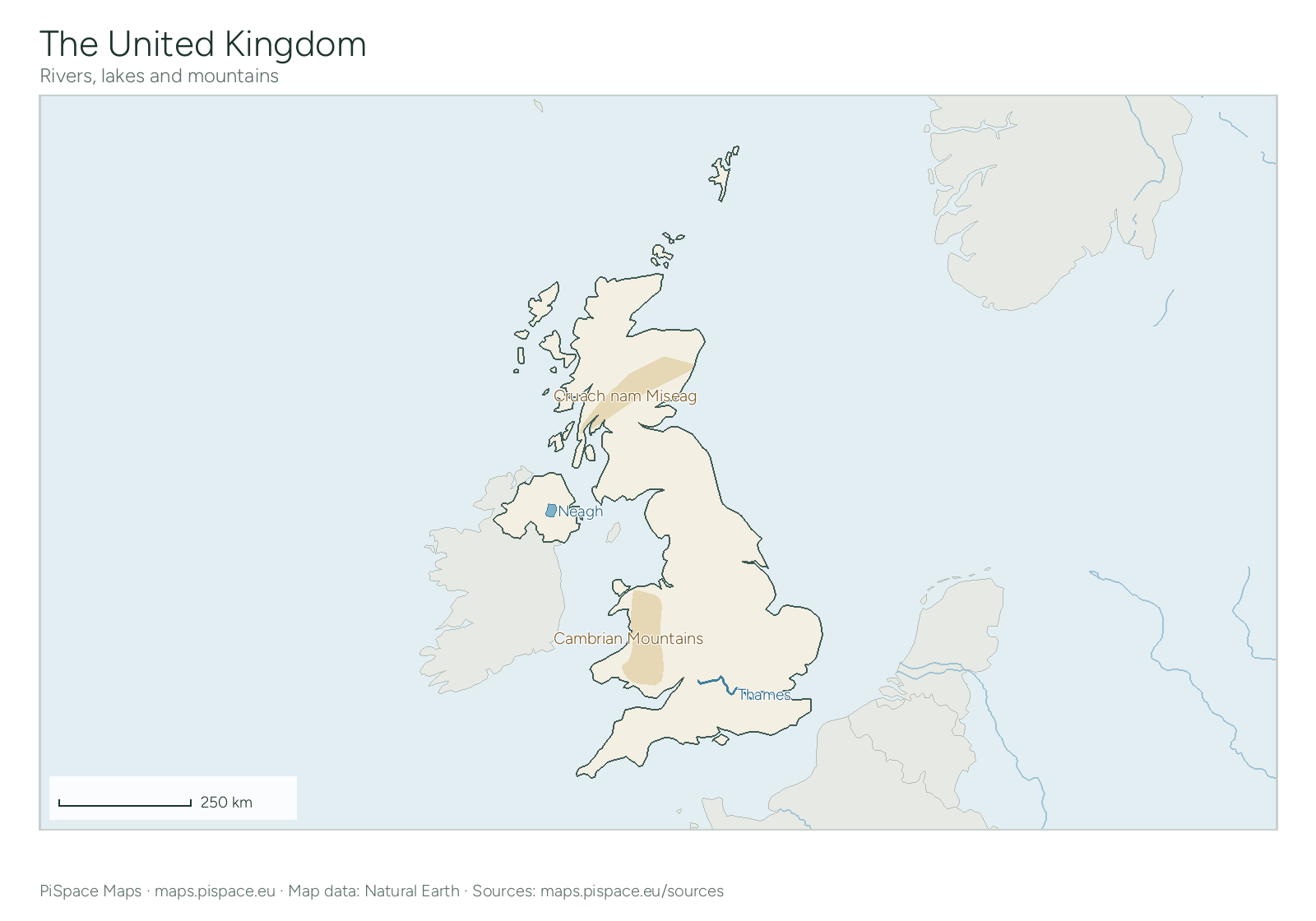
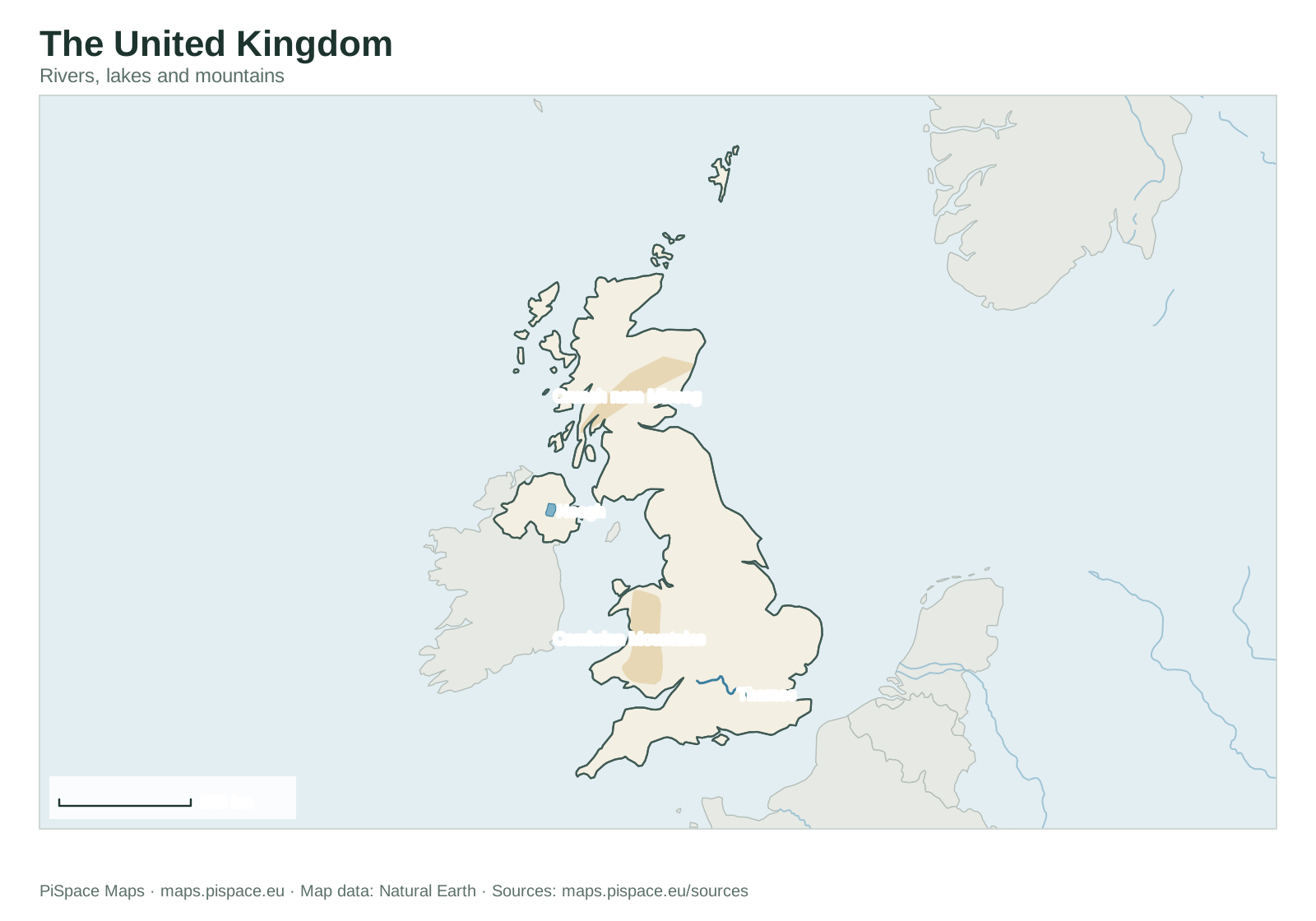
Physical map of the United Kingdom
Download: PNGSVGPDF (A4)PDF (US Letter)
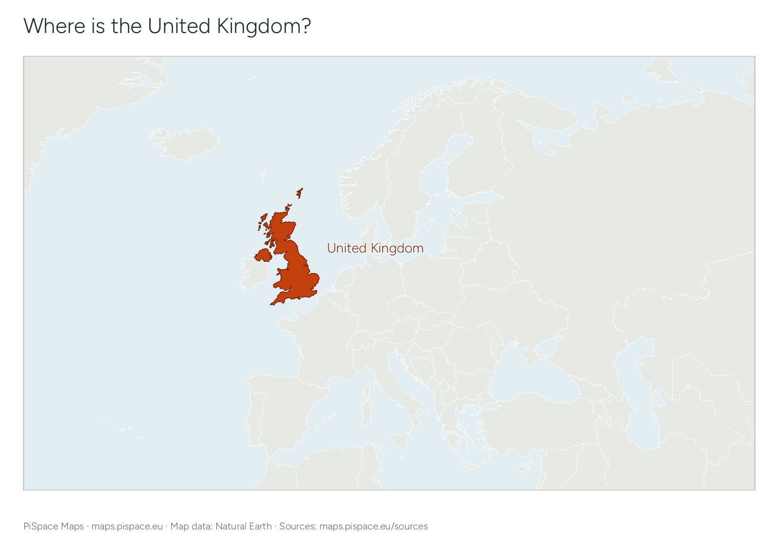
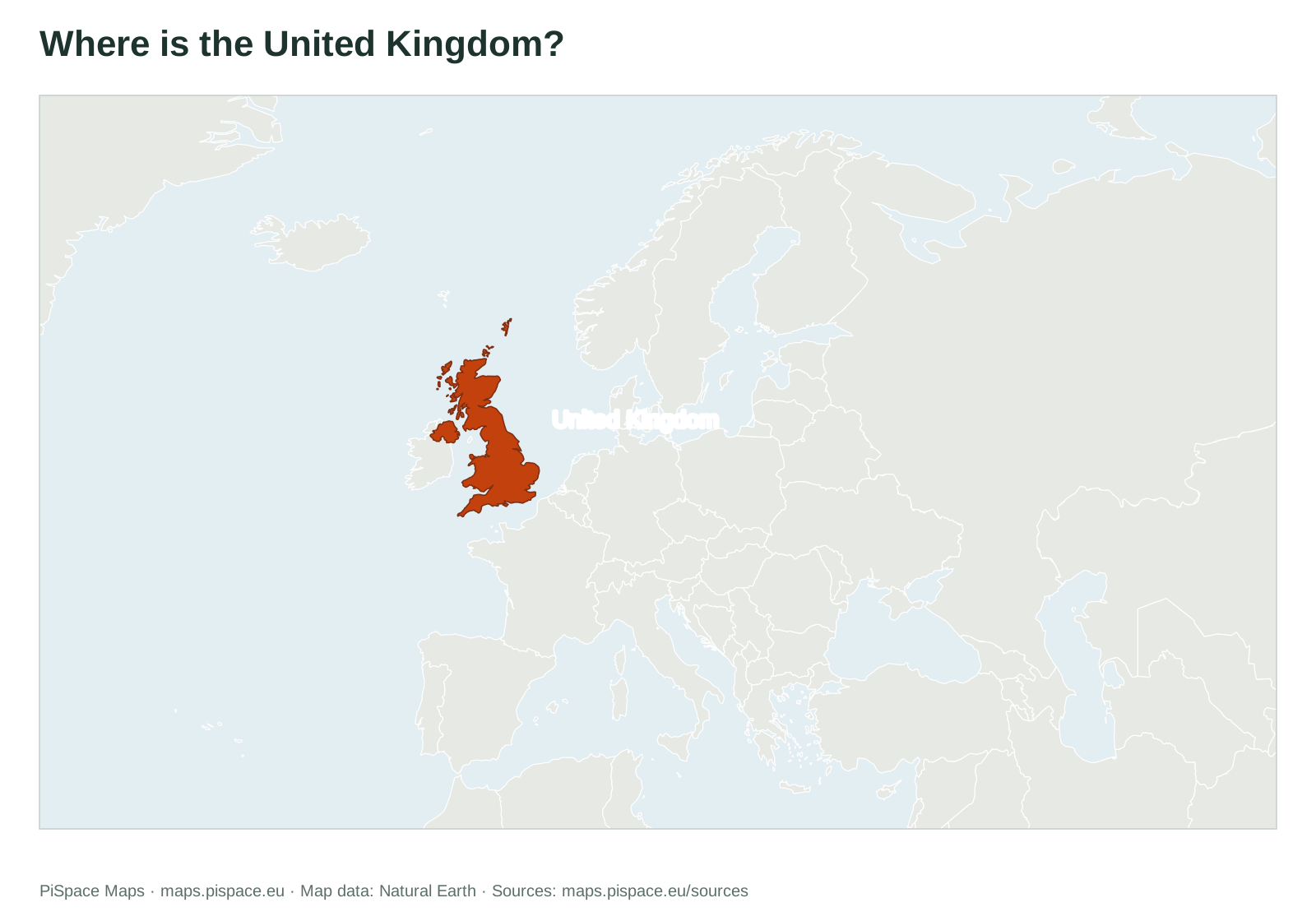
Where is the United Kingdom?
Download: PNGSVGPDF (A4)PDF (US Letter)
Need the boundaries for GIS or a web map? Download United Kingdom boundary data as GeoJSON, KML or Shapefile.
Quick facts
- Continent
- Europe
- Region
- Northern Europe
- Capital
- London
- Population
- About 69 million (2025)
- Regions on the map
- 232 administrative areas
- Latitude
- 50° N to 61° N
- Longitude
- 8° W to 2° E
- Land borders
- Ireland
Facts come from the map data and the World Bank. Borders, regions and coordinates follow the source outlines, which are simplified and may not reflect recent changes. Sources
Worksheets and printables
Preview unavailable. Open the resource for download options.
 Preview unavailable. Open the resource for download options.
United Kingdom administrative regions reference atlas
State and province atlases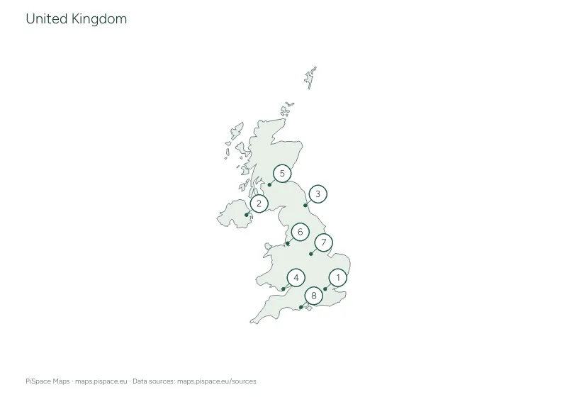 Preview unavailable. Open the resource for download options.
United Kingdom city map quiz
City map quizzes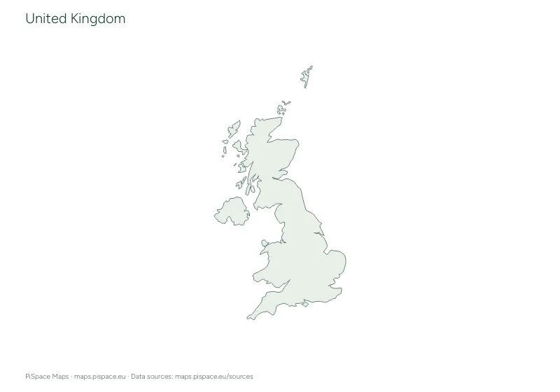 Preview unavailable. Open the resource for download options.
United Kingdom geography learning pack
Learning packs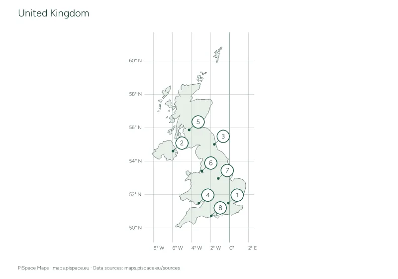 Preview unavailable. Open the resource for download options.
United Kingdom latitude and longitude worksheet
Coordinate worksheets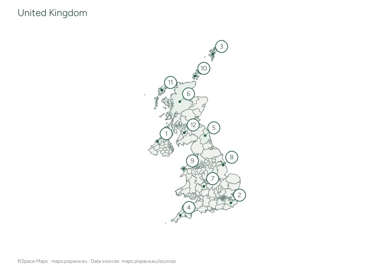 Preview unavailable. Open the resource for download options.
United Kingdom regional map quiz
Regional map quizzesThese resources use simplified boundaries and selected places for learning. They are not intended for navigation. Place names and boundaries follow the listed sources and may differ between editions. Read more about our map sources and coverage.
Back to all countries