Germany printable map pack
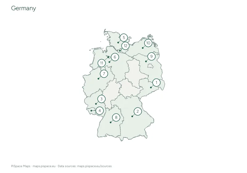
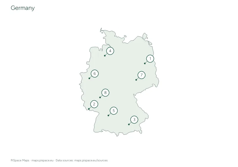
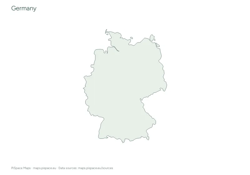
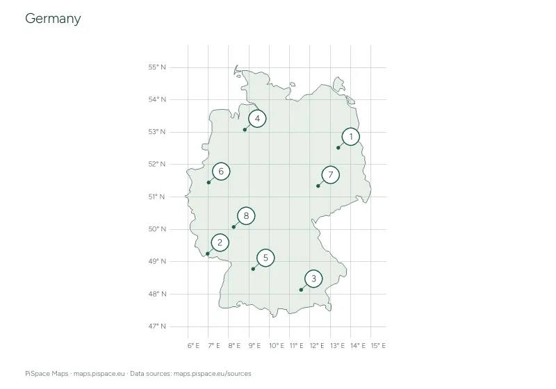
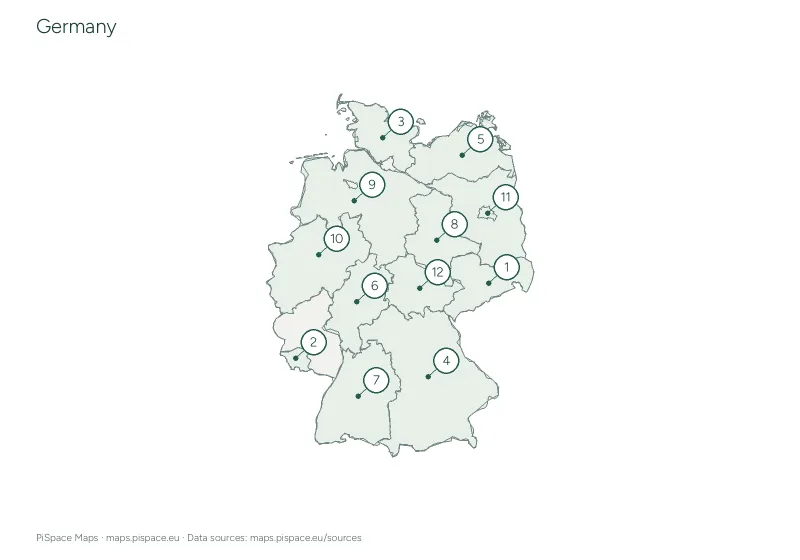
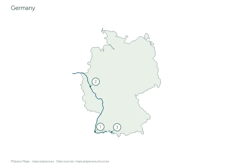
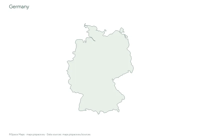
A blank outline map of Germany, a selected-city reference map and space for your own labels.
- Difficulty
- Beginner
- PDF pages
- 2
- Places or points
- 8
- Country
- Germany
Download this resource
Choose the paper size and version that work for your lesson.
A4 · Colour2-page PDF with source credits and the reference material shown on this page.A4 · Ink-saving2-page PDF with source credits and the reference material shown on this page.US Letter · Colour2-page PDF with source credits and the reference material shown on this page.US Letter · Ink-saving2-page PDF with source credits and the reference material shown on this page.
For printing, select the paper size shown on your download. Check the print preview before making classroom copies. Printing guide
Using this activity
- Print both pages. Use the blank outline for colouring, tracing or adding labels.
- Study the reference page, cover it, and add the places you remember.
- The map is simplified for learning; distant territories or small islands may be omitted.
What to practise
- Read a geographic outline and locate places using a reference map.
- Use map labels and directions to describe a location.
Map data: Natural Earth. Source snapshot retrieved 22 October 2026; reference geography, not live data. Boundaries are simplified for printing. Sources and licences