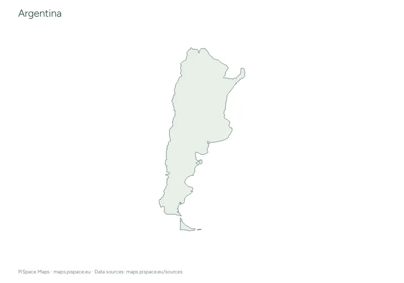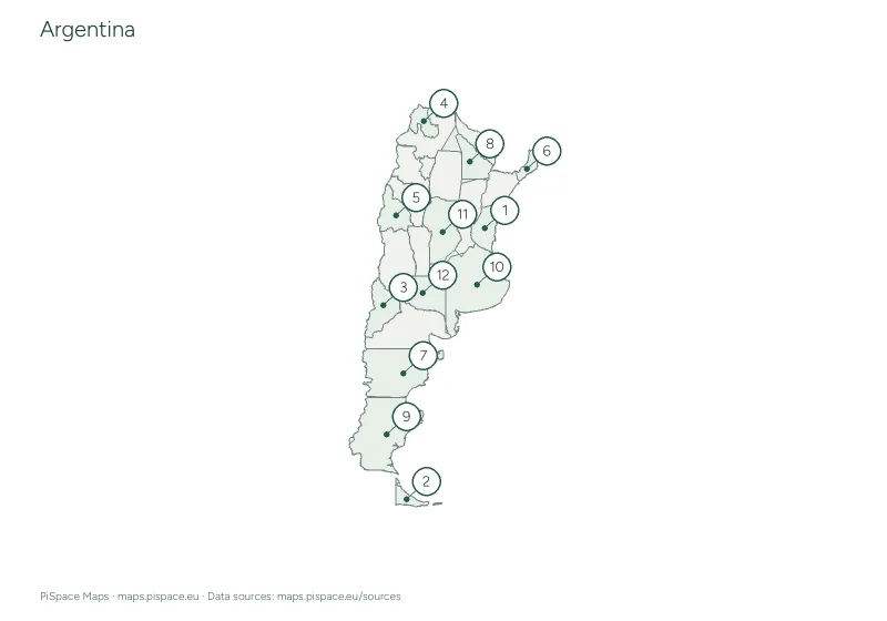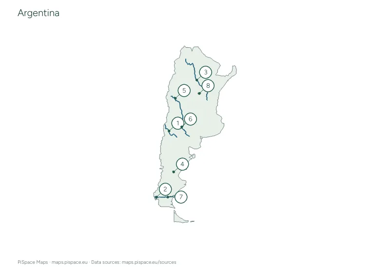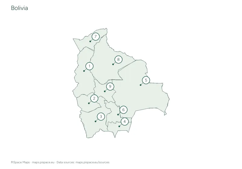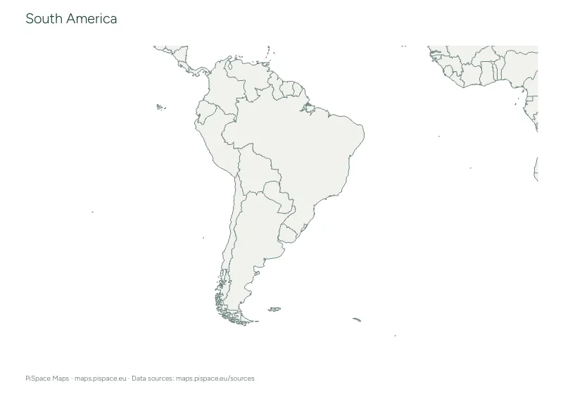
South America geography learning pack
A combined printable geography lesson with maps, practice activities and reference answers. See the current contents and page count below.
- Difficulty
- Beginner
- PDF pages
- 22
Download this resource
Choose the paper size and version that work for your lesson.
A4 · Colour22-page PDF with source credits and the reference material shown on this page.A4 · Ink-saving22-page PDF with source credits and the reference material shown on this page.US Letter · Colour22-page PDF with source credits and the reference material shown on this page.US Letter · Ink-saving22-page PDF with source credits and the reference material shown on this page.
For printing, select the paper size shown on your download. Check the print preview before making classroom copies. Printing guide
Inside this resource
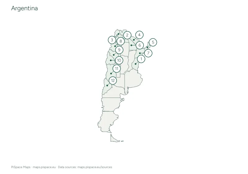
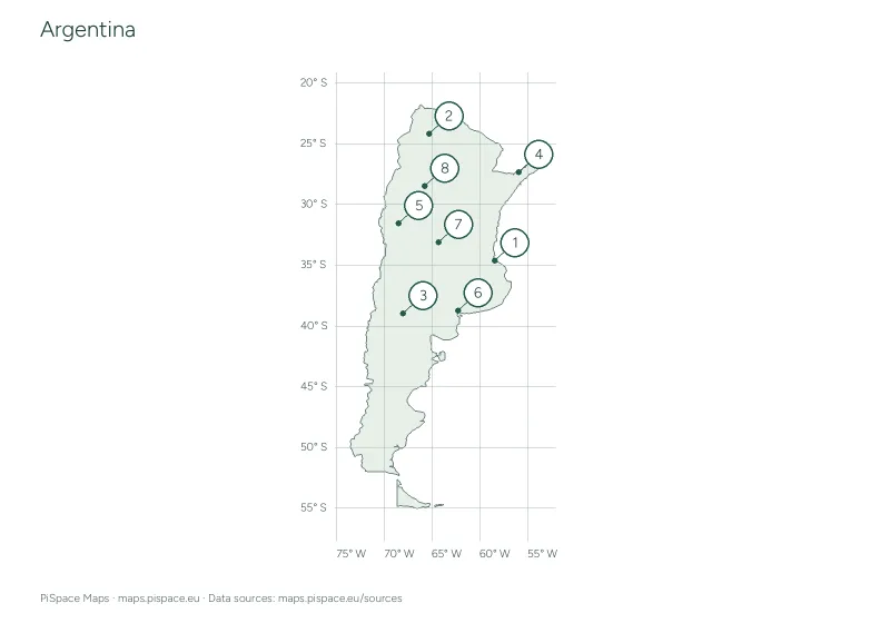
- South America blank and reference map pack
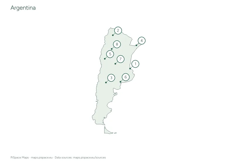
- South America capitals map quiz
- South America rivers and lakes map activity
- South America mountains, deserts and landforms map activity
- South America oceans and seas map activity
- South America map-reading and compass activity
- South America capital flashcards
- South America country word search
- South America country outline cut-out activity
- South America classroom map poster
Using this activity
- Print the contents page first, then choose the student sheets you need.
- Keep the included answer and reference pages for checking. Each activity lists its source and map scope.
- Flashcards, word searches, outline cut-outs and the poster are included in world and continent packs. Country packs include the activities available for that country.
What to practise
- Build a geography lesson using connected maps and practice sheets.
- Check answers against source-generated reference pages.
Map data: Natural Earth. See each component sheet for its source snapshot date. Boundaries are simplified for printing. Sources and licences