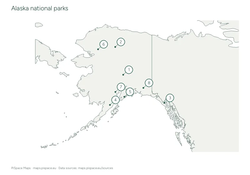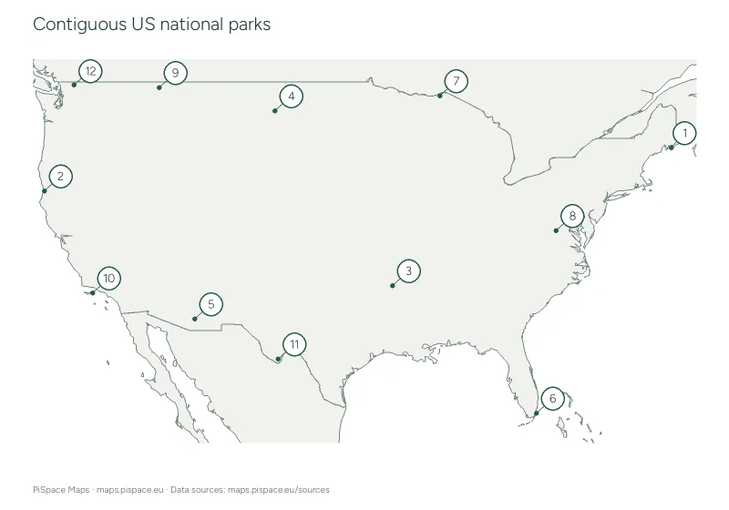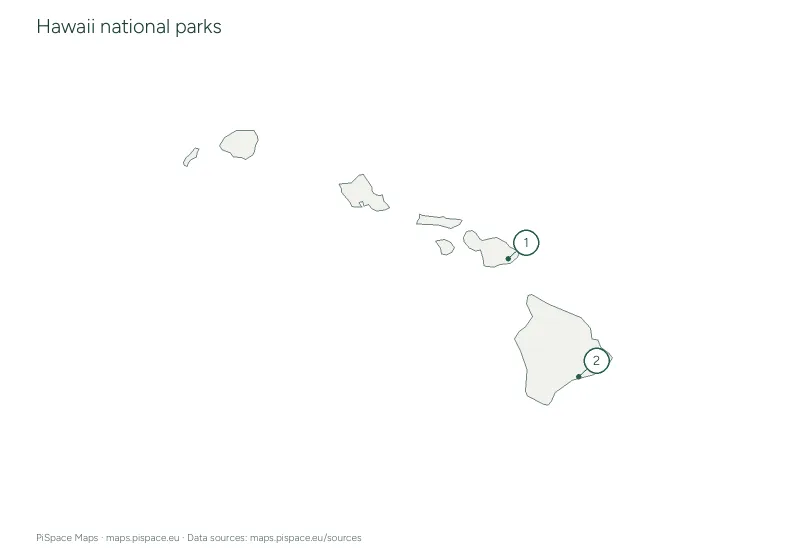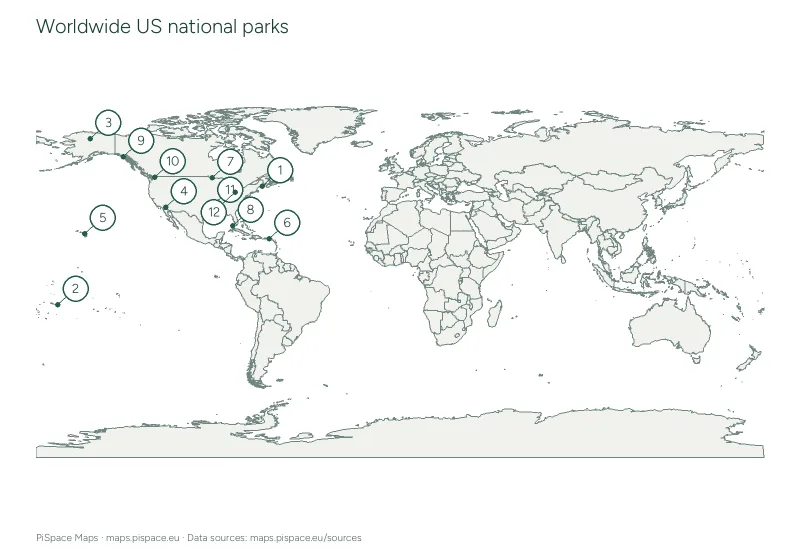
Worldwide US national parks map and checklist
Locate 12 selected US National Park Service units designated National Park or National Park and Preserve.
- Difficulty
- Intermediate
- PDF pages
- 2
- Places or points
- 12
- Country
- United States of America
Download this resource
Choose the paper size and version that work for your lesson.
A4 · Colour2-page PDF with source credits and the reference material shown on this page.A4 · Ink-saving2-page PDF with source credits and the reference material shown on this page.US Letter · Colour2-page PDF with source credits and the reference material shown on this page.US Letter · Ink-saving2-page PDF with source credits and the reference material shown on this page.
For printing, select the paper size shown on your download. Check the print preview before making classroom copies. Printing guide
Using this activity
- Match the selected national parks with their numbered source locations.
- Use the checklist and state abbreviations on the reference page.
- Points represent source boundary centroids, not entrances or visitor centres. This sheet is not a trip-planning or navigation map.
What to practise
- Read the map key and locate named features.
- Describe how places are positioned relative to one another.
Reference data
| Selected park | State or territory | Designation |
|---|---|---|
| Acadia National Park | ME | National Park |
| National Park of American Samoa | AS | National Park |
| Gates of the Arctic National Park | AK | National Park |
| Joshua Tree National Park | CA | National Park |
| Haleakala National Park | HI | National Park |
| Virgin Islands National Park | VI | National Park |
| Voyageurs National Park | MN | National Park |
| Dry Tortugas National Park | FL | National Park |
| Glacier Bay National Park | AK | National Park |
| North Cascades National Park | WA | National Park |
| Hot Springs National Park | AR | National Park |
| Cuyahoga Valley National Park | OH | National Park |
Map data: US National Park Service and Natural Earth. Snapshot retrieved 2026-10-22 01:24:56 UTC. Boundaries are simplified for printing. Sources and licences