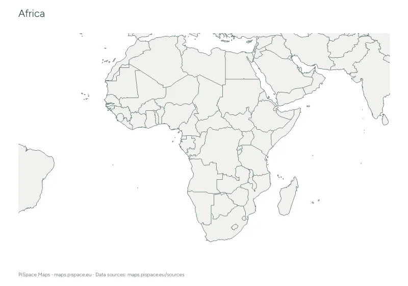
 Preview unavailable. Open the resource for download options.
Maps of Africa
Africa is the second-largest continent, stretching from the Mediterranean coast in the north to the Cape of Good Hope in the south. The Sahara covers much of the north, and the Nile, Congo and Niger are its great rivers.
Pick a country below for its own maps and quizzes, or start with the maps of the whole continent further down the page. All 326 printables are free PDFs in A4 or US Letter.
List of countries in Africa with capitals · Africa map quiz · Colour a map of Africa
Choose a country
Maps and activities, organised by place.
- Algeria6 resources
- Angola6 resources
- Benin6 resources
- Botswana6 resources
- Burkina Faso6 resources
- Burundi6 resources
- Cameroon7 resources
- Cape Verde3 resources
- Central African Republic7 resources
- Chad6 resources
- Comoros3 resources
- Democratic Republic of the Congo7 resources
- Djibouti6 resources
- Egypt7 resources
- Equatorial Guinea6 resources
- Eritrea6 resources
- Eswatini6 resources
- Ethiopia7 resources
- Gabon6 resources
- Ghana6 resources
- Guinea6 resources
- Guinea-Bissau6 resources
- Ivory Coast6 resources
- Kenya6 resources
- Lesotho6 resources
- Liberia6 resources
- Libya6 resources
- Madagascar6 resources
- Malawi6 resources
- Mali6 resources
- Mauritania6 resources
- Morocco6 resources
- Mozambique6 resources
- Namibia6 resources
- Niger6 resources
- Nigeria6 resources
- Republic of the Congo6 resources
- Rwanda6 resources
- São Tomé and Príncipe1 resource
- Senegal6 resources
- Sierra Leone6 resources
- Somalia6 resources
- Somaliland4 resources
- South Africa6 resources
- South Sudan4 resources
- Sudan7 resources
- Tanzania7 resources
- The Gambia6 resources
- Togo6 resources
- Tunisia6 resources
- Uganda7 resources
- Western Sahara1 resource
- Zambia7 resources
- Zimbabwe6 resources
From the Africa collection
Preview unavailable. Open the resource for download options.
Africa capital flashcards
Geography flashcards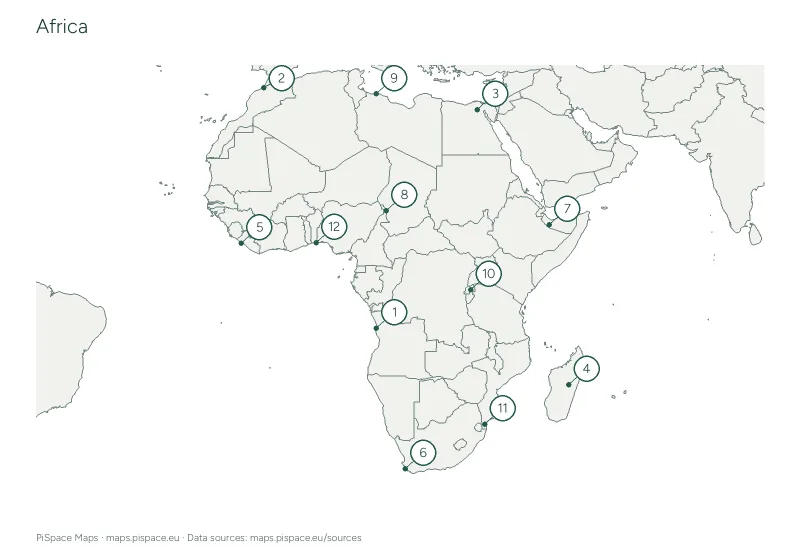 Preview unavailable. Open the resource for download options.
Africa capitals map quiz
Capitals maps and quizzes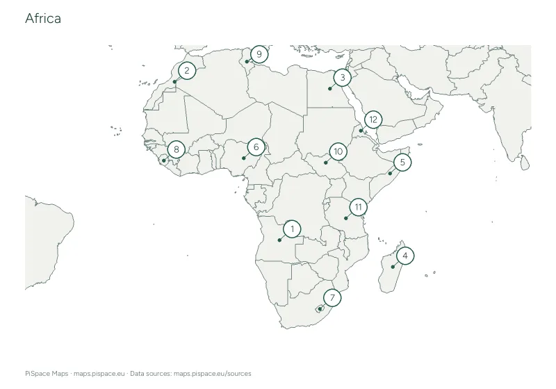 Preview unavailable. Open the resource for download options.
Africa classroom map poster
Classroom map posters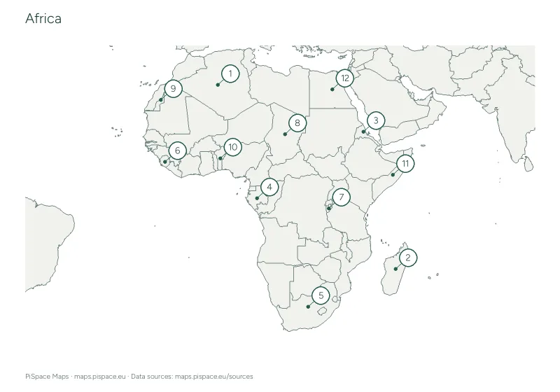 Preview unavailable. Open the resource for download options.
Africa country map quiz
Continent country quizzesAfrica country outline cut-out activity
Map cut-out activitiesAfrica country word search
Geography word searches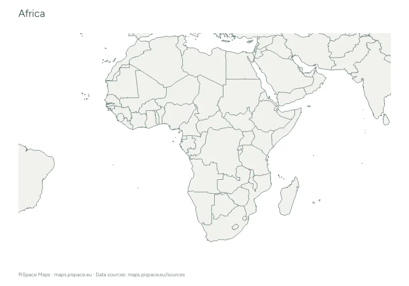 Preview unavailable. Open the resource for download options.
Africa geography learning pack
Learning packs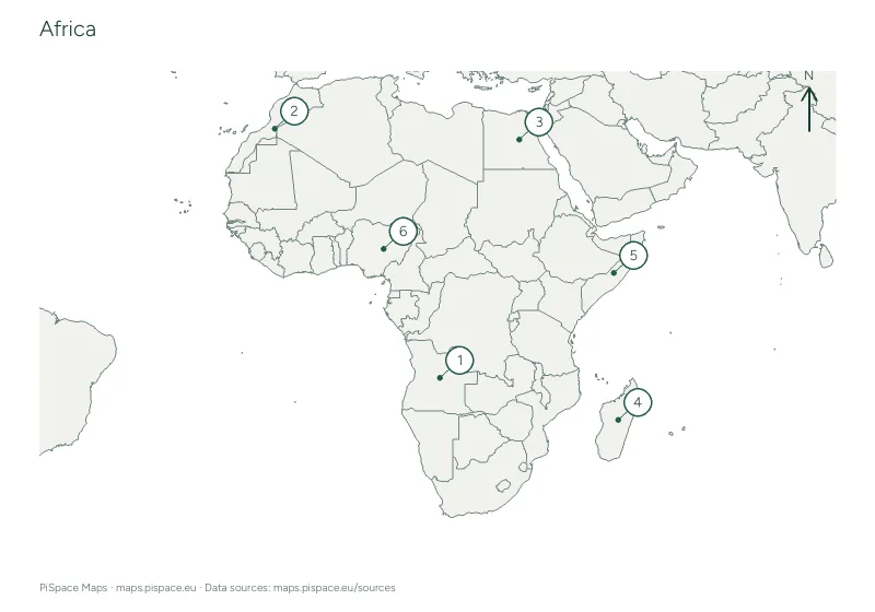 Preview unavailable. Open the resource for download options.
Africa map-reading and compass activity
Map-reading activities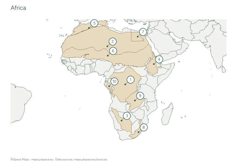 Preview unavailable. Open the resource for download options.
Africa mountains, deserts and landforms map activity
Mountains and deserts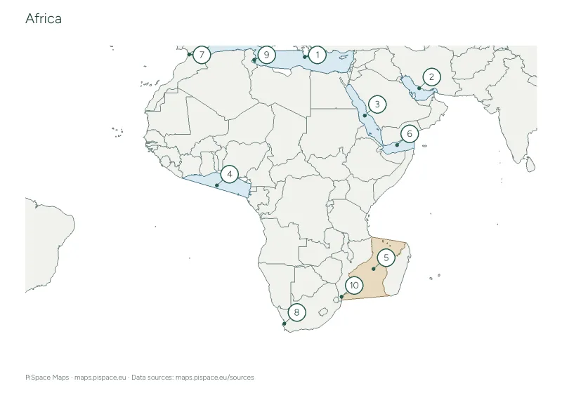 Preview unavailable. Open the resource for download options.
Africa oceans and seas map activity
Oceans and seas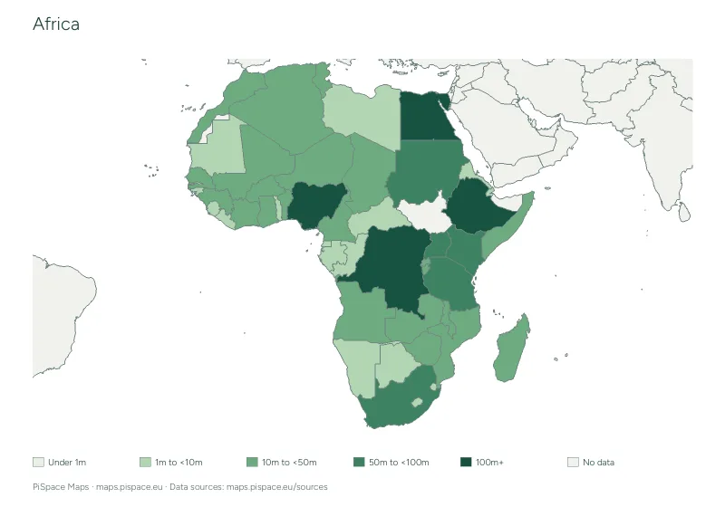 Preview unavailable. Open the resource for download options.
Africa population map and data table
Population maps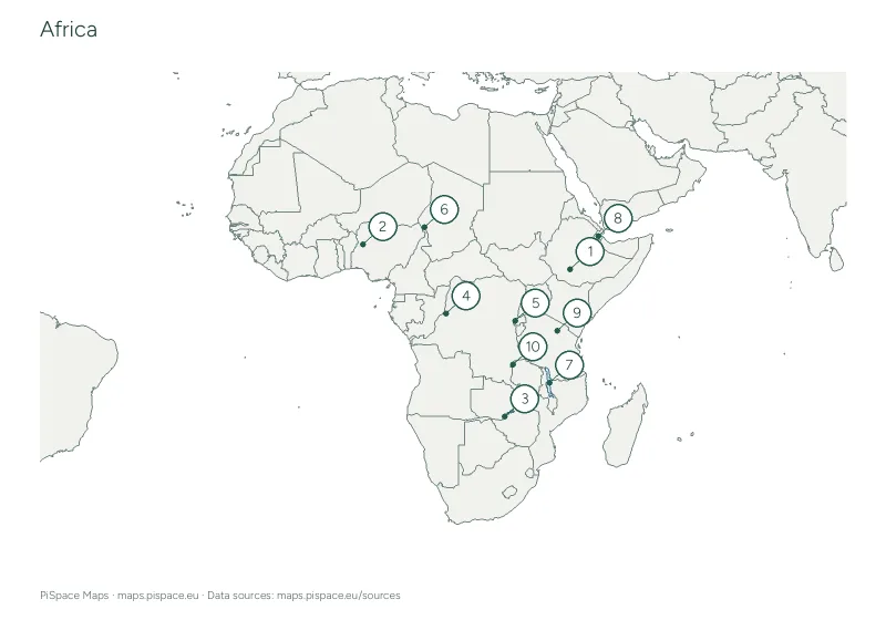 Preview unavailable. Open the resource for download options.
Africa rivers and lakes map activity
Rivers and lakes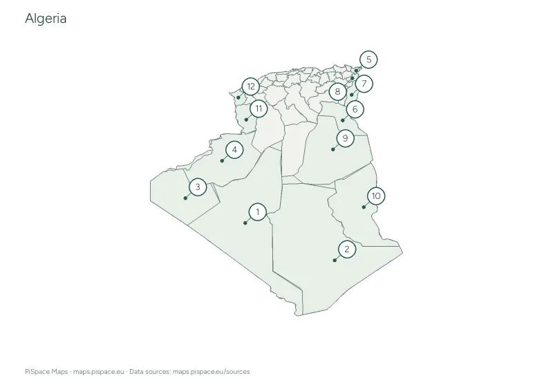 Preview unavailable. Open the resource for download options.
Algeria administrative regions reference atlas
State and province atlases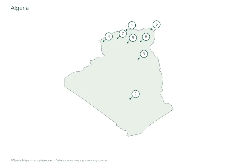 Preview unavailable. Open the resource for download options.
Algeria city map quiz
City map quizzes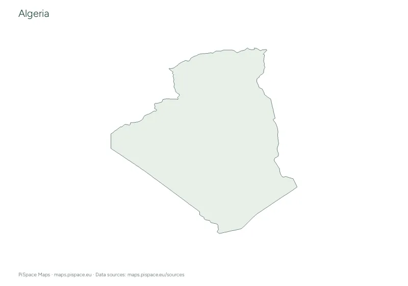 Preview unavailable. Open the resource for download options.
Algeria geography learning pack
Learning packs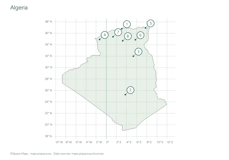 Preview unavailable. Open the resource for download options.
Algeria latitude and longitude worksheet
Coordinate worksheets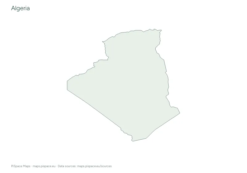 Preview unavailable. Open the resource for download options.
Algeria printable map pack
Country map packsOur continent groups follow the source catalogue. They are a way to browse resources and do not resolve differences in geographic or political classification. See map sources for details.